About the Project
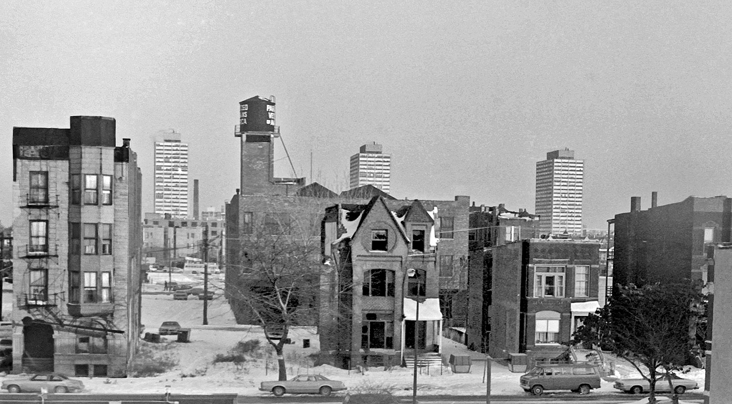
Working in close coordination with UChicago Library’s Center for Digital Scholarship, the Chicago Urban Heritage Project aims to vectorize historic fire insurance maps from Chicago to create an historically accurate and downloadable building footprint data layers (with related metadata). Founded and led by the Center for Digital Scholarship’s inaugural post-bacc fellow and University of Pennsylvania urban planning master’s student Parker Otto, each cohort of undergraduate researchers will work to empower next-generation historical scholarship on Chicago’s built environment. Researchers will learn applied skills in Python and QGIS in a hands-on, project-focused environment that seeks to change the way academics, city officials, and everyday people understand the continuities (and often-dramatic changes) in Chicago’s built environment over the past century.
The Chicago Urban Heritage Project (formerly known as the Roaring Twenties Project) stems from original, cutting edge research in computer vision and GeoAI. For more information on our methodology, see our article “Computational Mapping of Historic Built Environments in American Cities from Sanborn Maps: A Case from the Chicago Urban Heritage Project” recently published in the journal Environment and Planning B: Urban Analytics and City Science.
Interested in this project? Contact Parker via parkerotto@uchicago.edu for more information.